Get 10% off every booking with code LH10

How cold does Rovaniemi get? Month by month in figures

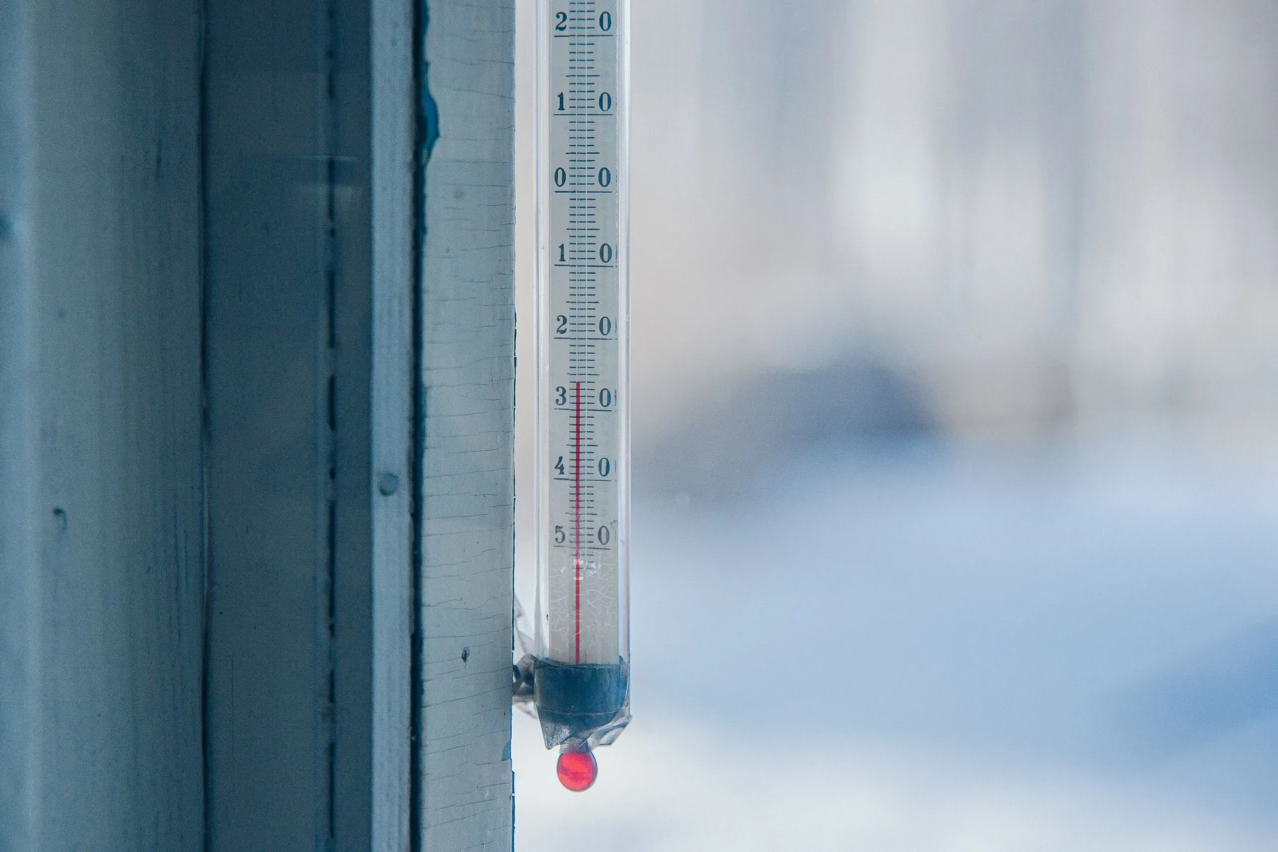
An old outdoor thermometer fixed to a white window frame, its red column far below zero, with a blurred snowy yard behind
Illustration photo: an outdoor thermometer in hard frost.

The short answer

Plan for real cold from December to March, and for the deepest of it in January and February, when a night far below the average is common enough to pack for and not rare enough to ignore. November and March are cold but rarely extreme. From late May to September there is little frost. Dress for the cold nights of your month, not for its average day.

These figures are our own. We calculated them from the Finnish Meteorological Institute’s open data: the daily observations of its weather station at Rovaniemi airport over the 28 years from 1998 to 2025, which is as far back as the open data for that station goes.1 The institute publishes the data under the CC BY 4.0 licence. The result is not the institute’s official long-term average, and how it was calculated is at the end of the page.

Month by month

The average day is the mean of the daily mean temperatures; the average night low and day high are the means of the daily minimum and maximum. The last two columns count how many nights fell to minus twenty or below, and give the lowest reading in the 28 years.

MonthAverage dayAverage night lowAverage day highNights at −20 °C or colderLowest, 1998–2025
January−10.6 °C−13.8 °C−7.7 °C22 %−38.1 °C
February−9.9 °C−12.9 °C−7.0 °C18 %−33.9 °C
March−5.5 °C−9.0 °C−1.8 °C4 %−23.3 °C
April0.5 °C−3.2 °C4.5 °C0 %−19.2 °C
May7.0 °C2.8 °C11.6 °C0 %−8.0 °C
June12.9 °C8.8 °C17.4 °C0 %−1.0 °C
July16.1 °C12.1 °C20.6 °C0 %3.0 °C
August13.3 °C9.8 °C17.5 °C0 %0.4 °C
September8.3 °C5.4 °C11.7 °C0 %−4.7 °C
October1.3 °C−0.7 °C3.7 °C0 %−16.3 °C
November−4.3 °C−6.7 °C−2.0 °C3 %−24.8 °C
December−7.7 °C−10.6 °C−5.1 °C11 %−30.7 °C

What the averages hide

An average of minus ten in January sounds manageable, and on many January days it is. The column that matters more is the night column: more than one night in five in January reached minus twenty or below, and in February almost one in five. Counted as weeks, 53 % of all seven-day stretches in January included at least one such night, 46 % in February and 33 % in December.

Minus thirty is a different matter. In 28 years it came on 13 January nights, 9 February nights and a single December night, and those 23 nights fell in only eight of the winters. It is the reading people remember, not the one to plan a week around. The lowest of all was −38.1 °C, on 28 January 1999.

December is milder than January and February, with an average day of −7.7 °C, though a night at minus twenty still came on about one December night in nine. March is still full winter by the thermometer, with an average day of −5.5 °C, but a night at minus twenty is already rare.
Tripadvisor ratings, 18 Rovaniemi operators

Highest first
Snowtrail Safaris 5.0
Nordic Odyssey 5.0
Nordic Adventures 4.9
Arctic GM 4.9
Book Lapland 4.9
Bearhill Husky 4.9
Arctic Attitude 4.9
StayLapland 4.8
Wild About Lapland 4.7
Wild Nordic 4.7
Lapland Winter Park 4.6
Safartica 4.5
Nordic Unique Travels 4.5
Apukka Resort 4.4
Lapland Welcome 4.3
Arctic Circle Snowmobile Park 4.3
Arctic Circle Husky Park 4.2
Raitola 3.4

Ratings read from Tripadvisor. The shaded compartment left of the divider holds any score below 4.0. We record the score only; review counts and review text are not part of our comparison.

Dressing for it

The averages tell you what to wear in town; the night column tells you what to wear on an evening tour, when you stand still outside for a long time. How to dress for that, and what the tours lend, is set out in what to pack for a Lapland winter, and when the snow comes and goes in Rovaniemi is calculated from the same station.

How the figures were calculated

The data is the institute’s daily series for the station Rovaniemi lentoasema: the daily mean, minimum and maximum temperature. A month of a year was counted only if at least nine days in ten had a value, so that a gap in the record could not tilt a month. All twelve months met that in all 28 years. The script that produces the table is kept with the site’s code, so the figures can be recalculated from the open data at any time.

Sources

  1. Finnish Meteorological InstituteOpen data: daily weather observations, Rovaniemi airport (CC BY 4.0)en.ilmatieteenlaitos.fi ↩

Questions people ask

Can it thaw in the middle of winter?

Yes. In the same 28 years the highest daily maximum at the airport rose above zero in every winter month: to 5.0 °C in December, 6.1 °C in January and 5.8 °C in February. So a winter trip can meet a day above freezing, and wet ice afterwards is slippery. Boots with grip, or ice cleats over ordinary shoes, are worth more on such a day than an extra layer.

Why do other websites give different averages?

Because they use another station, another run of years or another method. These figures are calculated by us from one station's daily observations over 1998–2025, and say so. They are not the Finnish Meteorological Institute's official long-term averages, and a figure on another site may be one of those, or may come from a model rather than from measurements.

Where can we see the forecast for our dates?

The Finnish Meteorological Institute publishes a forecast for Rovaniemi on its own website, ilmatieteenlaitos.fi, in English as well as Finnish. It is the same institute whose observations this page is built on. Look at it a few days ahead rather than weeks ahead, and look at the night-time minimum as well as the daytime figure if you will be out on an evening tour.

Written by

Lapland Handbook Staff

Lapland Handbook is written by its editorial staff in Rovaniemi. Every price, age limit and group size in a comparison is read from the operator's own page and marked "Not stated" when the operator does not publish it. Each guide names who should not book, and names the operator that suits each kind of group, whichever it is.

More about Lapland Handbook →